Out Islands
Great Inagua Lighthouse
Fouled prop
For as much time as we have spent in the Bahamas, we hadn’t visited several of the southernmost islands in the archipelago.
In early March, we had a sliver of a weather window to sail from the Ragged Islands down to Great Inagua overnight. After a false-start due to plastic wrapped in the prop, we made it there the next morning.
With more bad weather moving in, we took a dock in the small harbor for $10/day. There was a surge at times and a good bit of dust, but it sure beat the rolling that boats were experiencing in the anchorage out in the bay. We stayed on the dock for a week for easy access to Matthew Town.
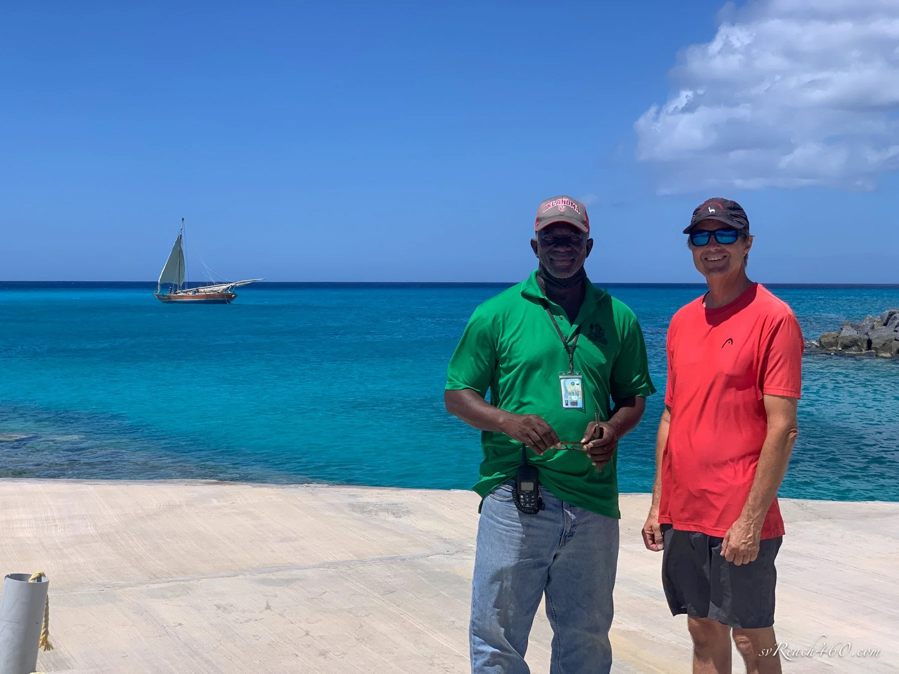
Dockmaster George & Mark
Dockmaster George couldn’t be nicer. He is a perfect ambassador, reflecting the genuine friendliness of the island. We couldn't walk down the road without getting a ride, gladly accepted.
The Lighthouse restaurant was a favorite, where Jay, Shay and family also gave us rides and introduced us to minced lobster… where has this dish been all of our lives?? It was so good, I’ve since tried to make it in the galley.
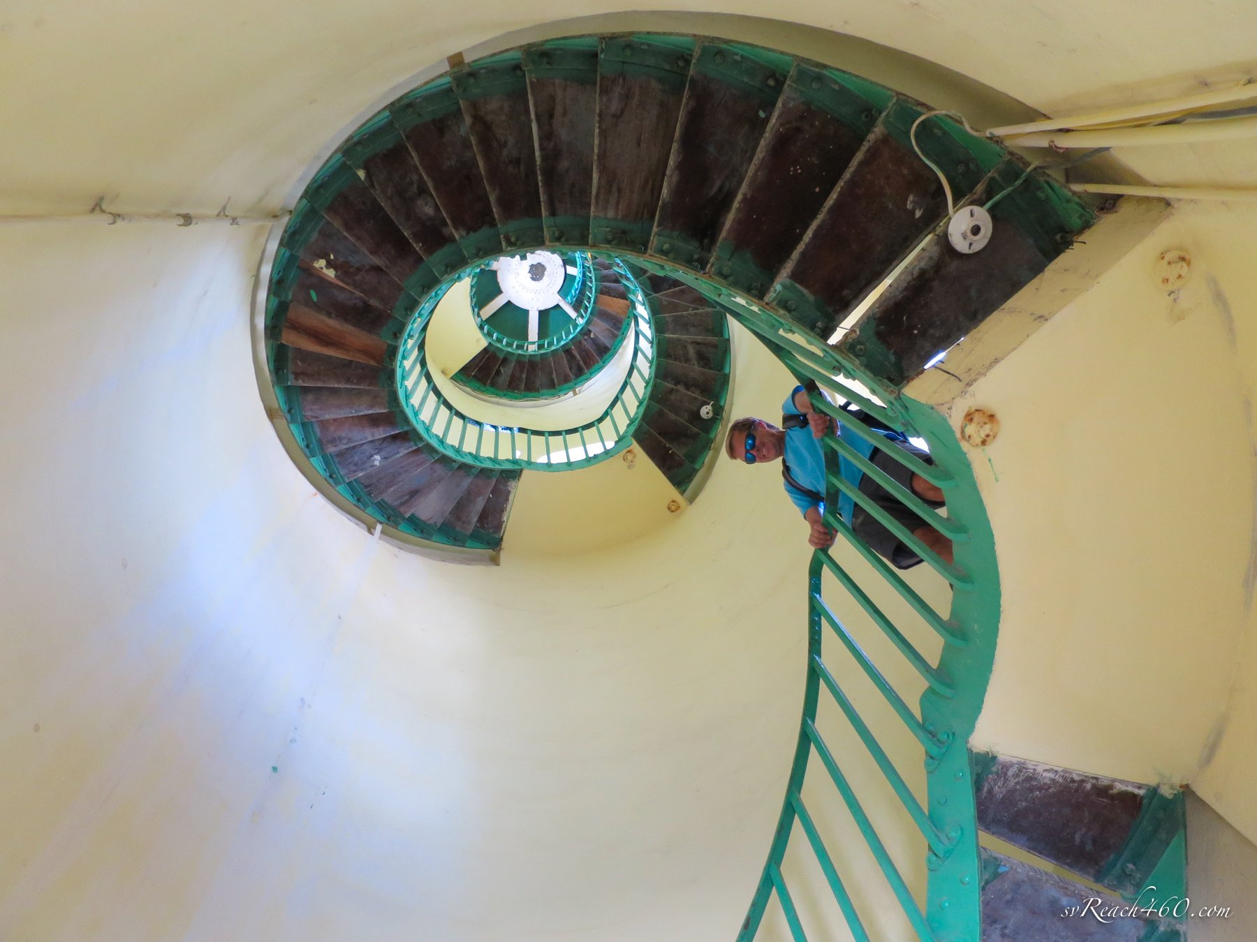
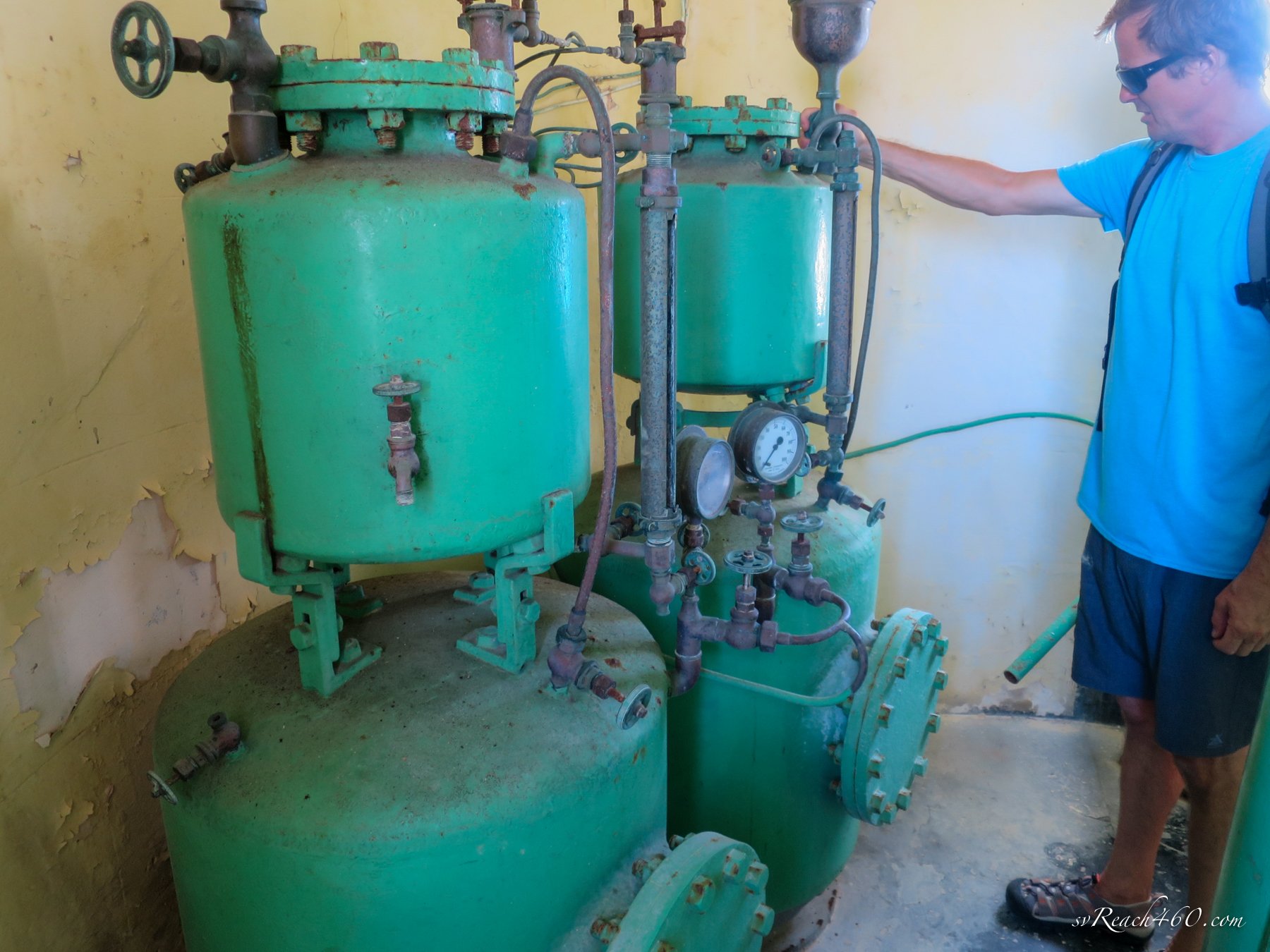
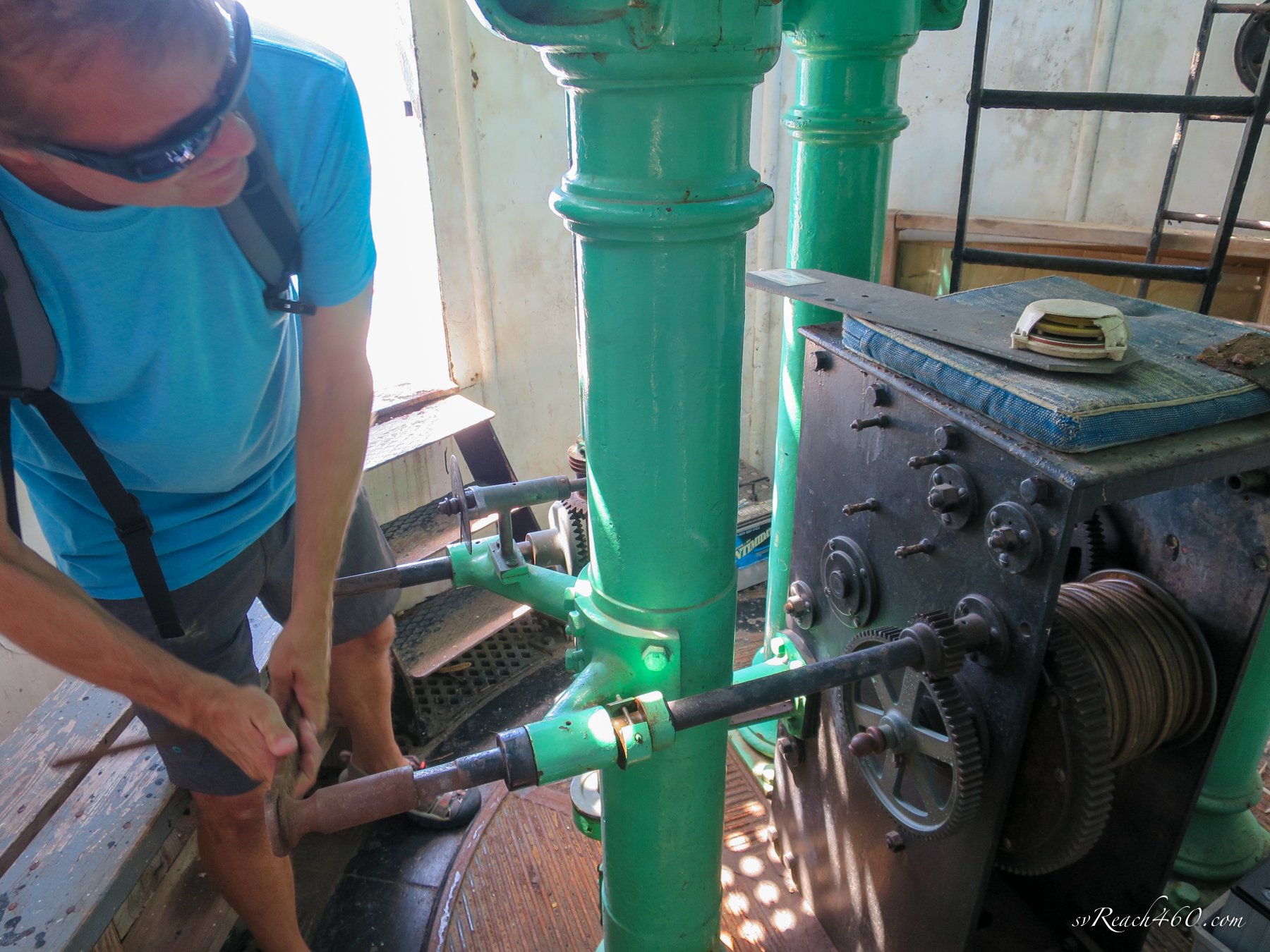
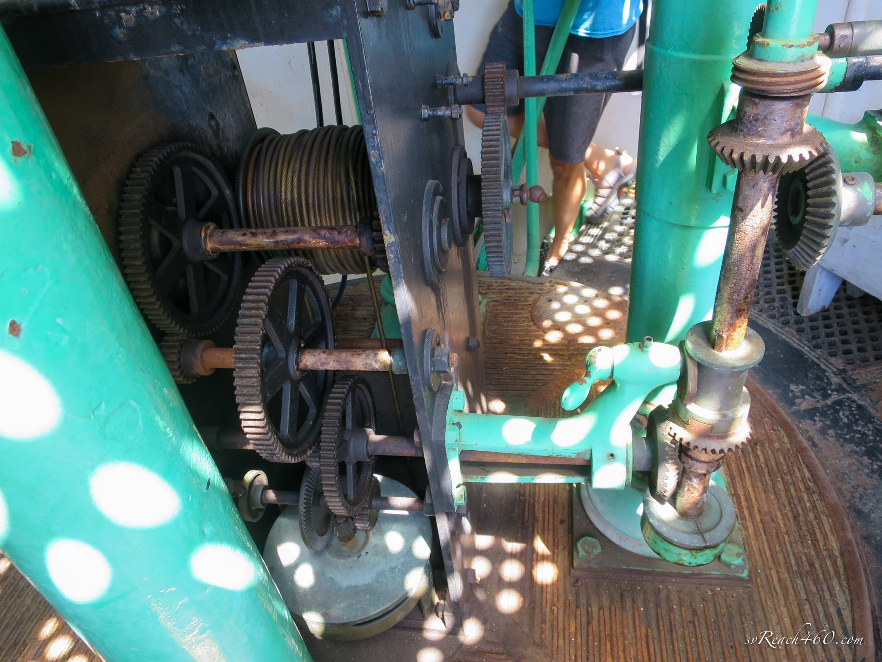
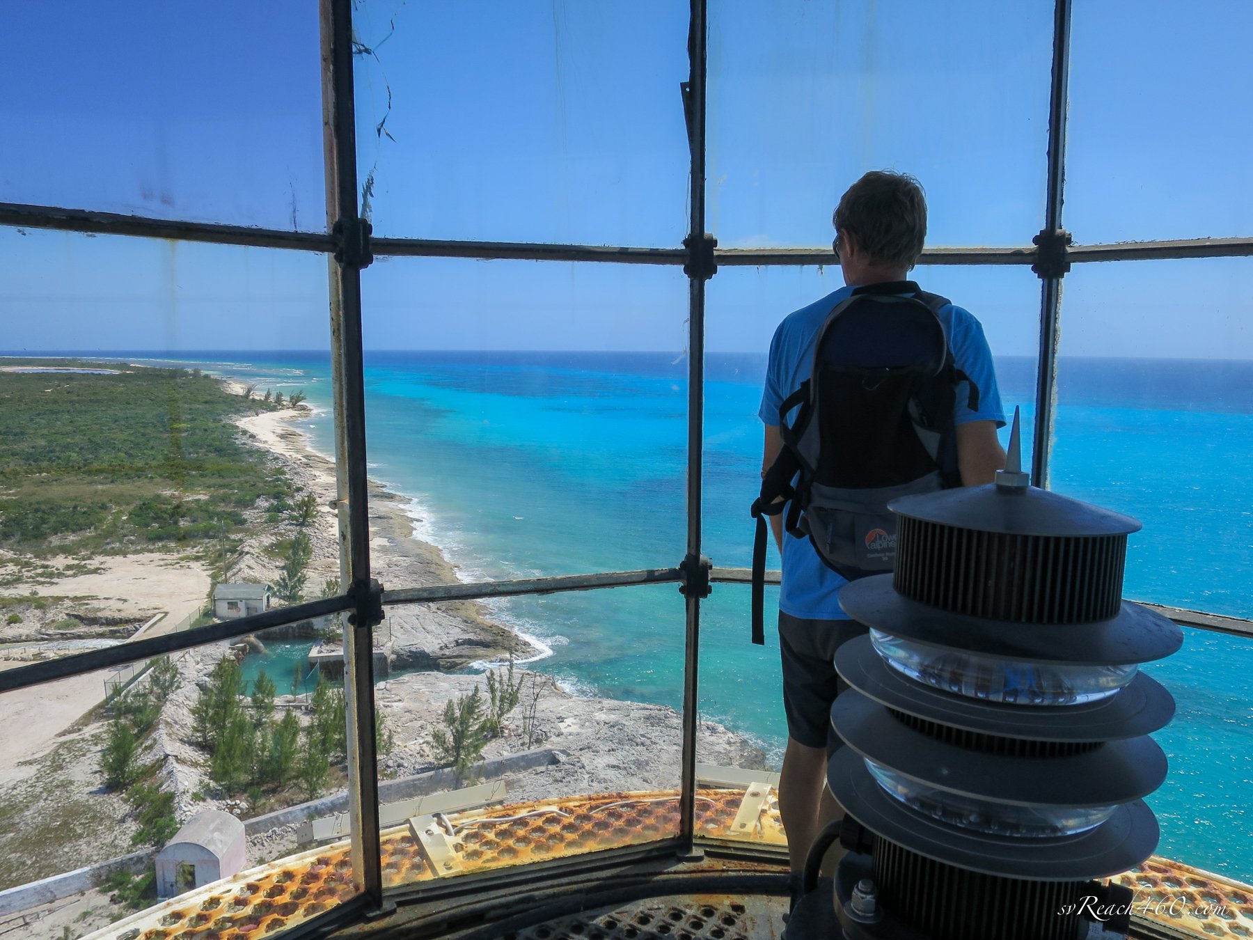
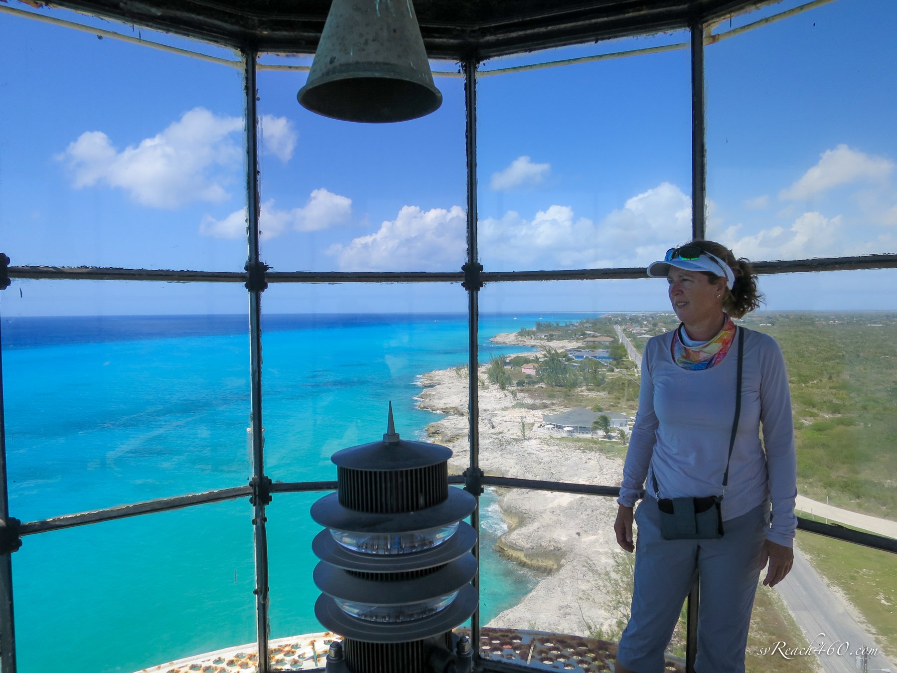
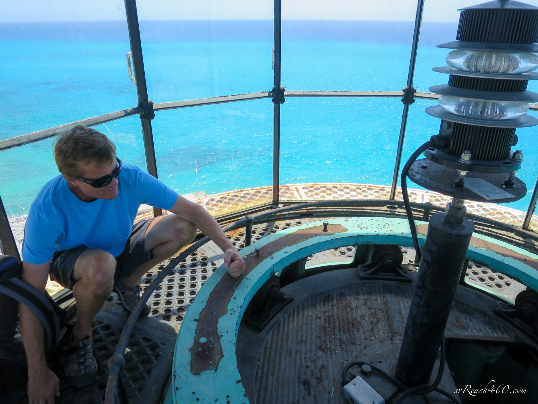
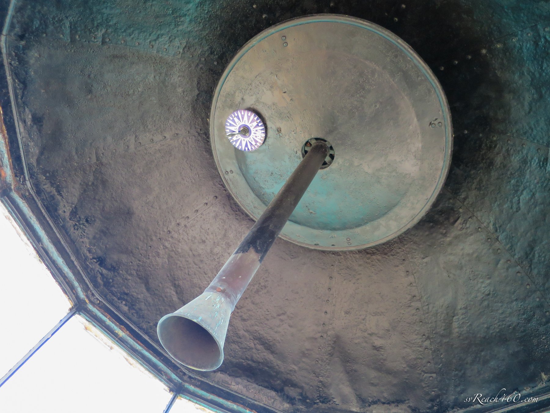
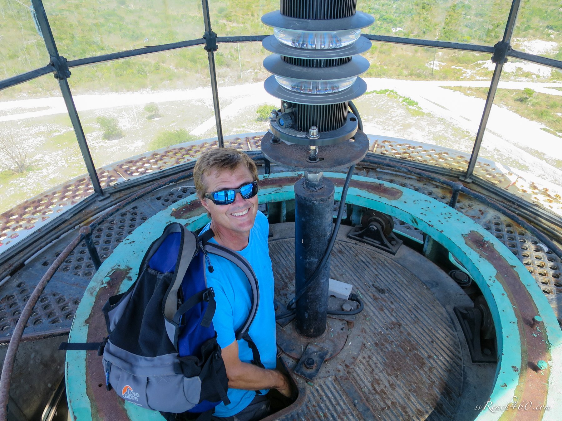
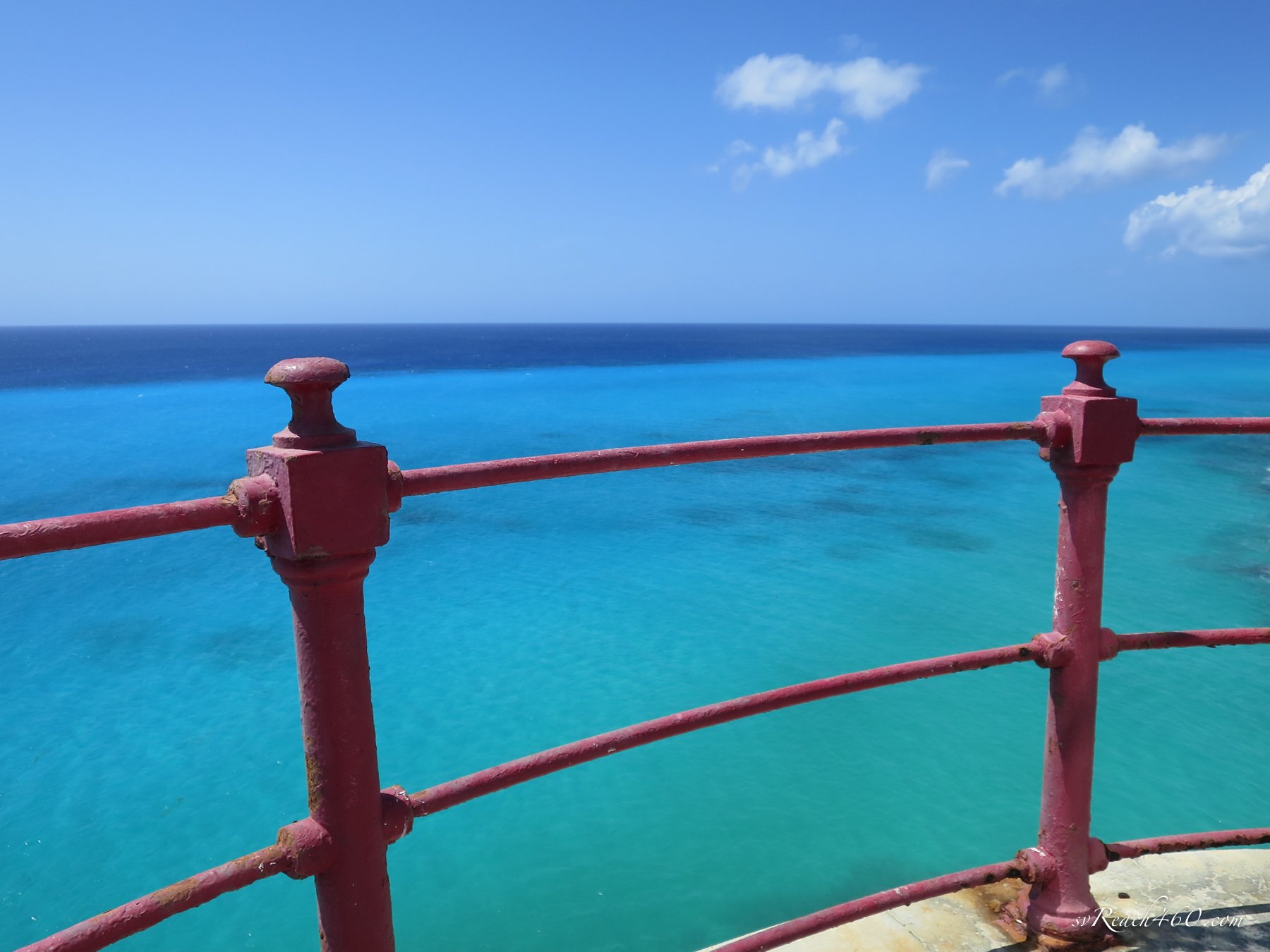
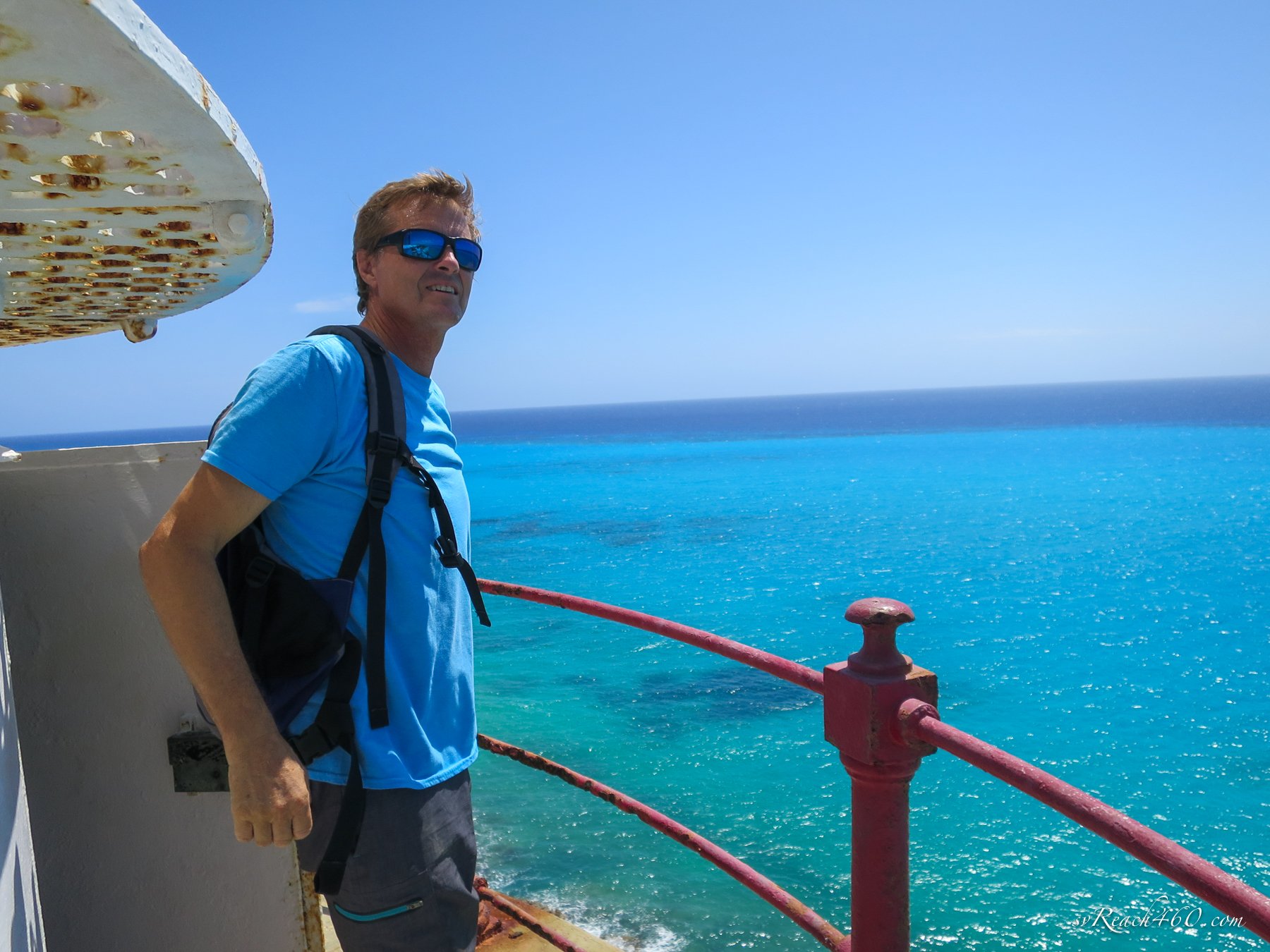
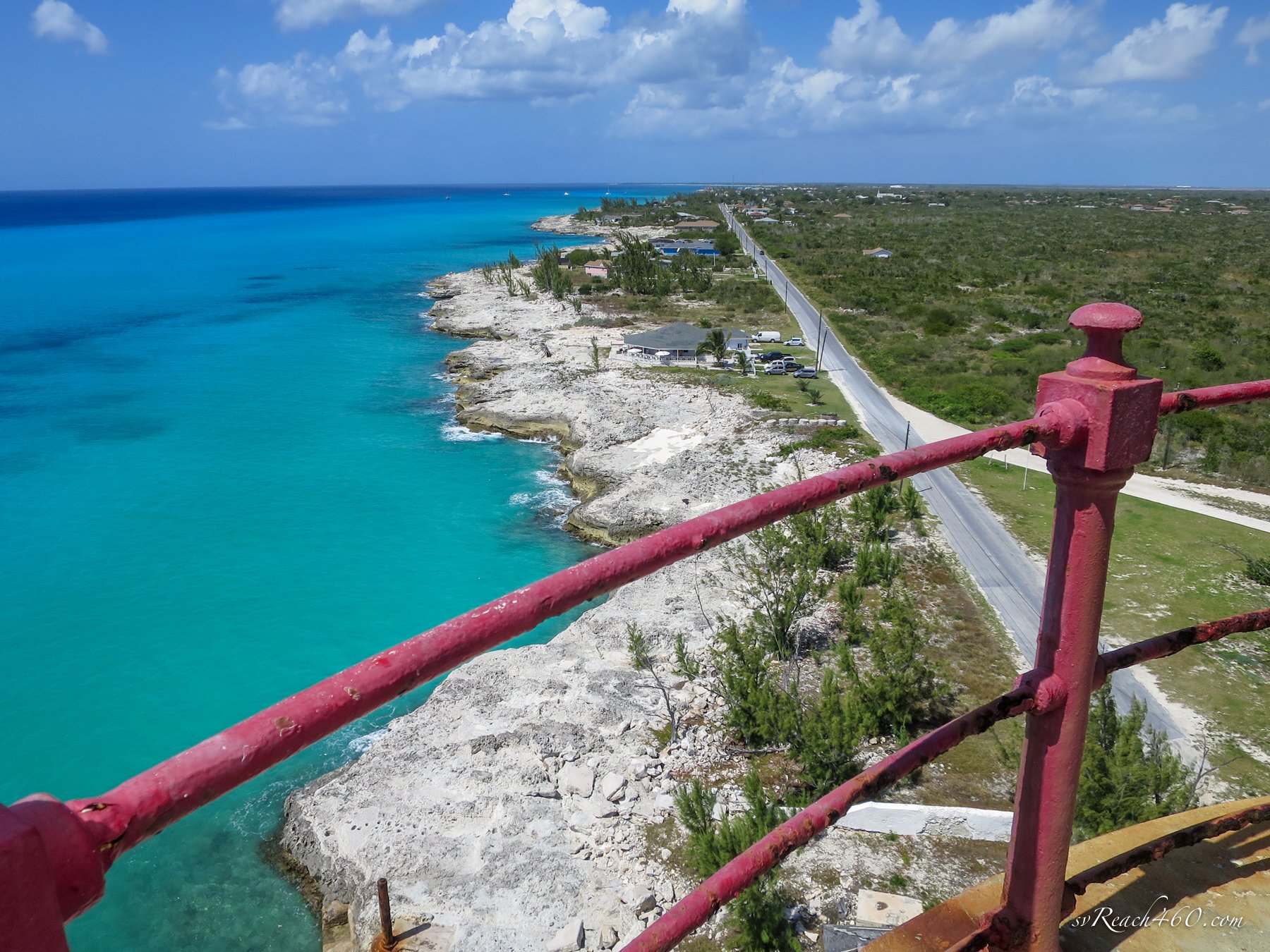
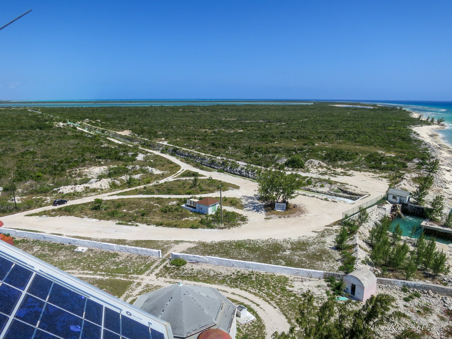
After lunch, we climbed the lighthouse and geeked out about the old, retired but intact, kerosene feed system and mechanical gears for turning the light. The views were spectacular.
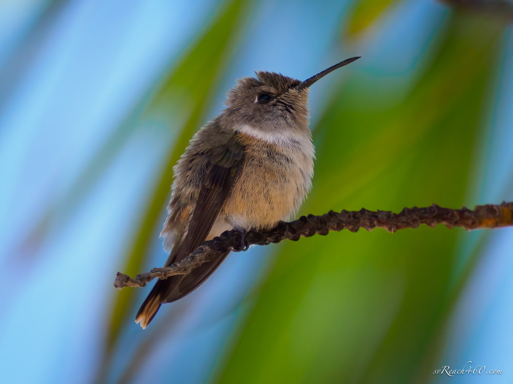
Inagua woodstar - male
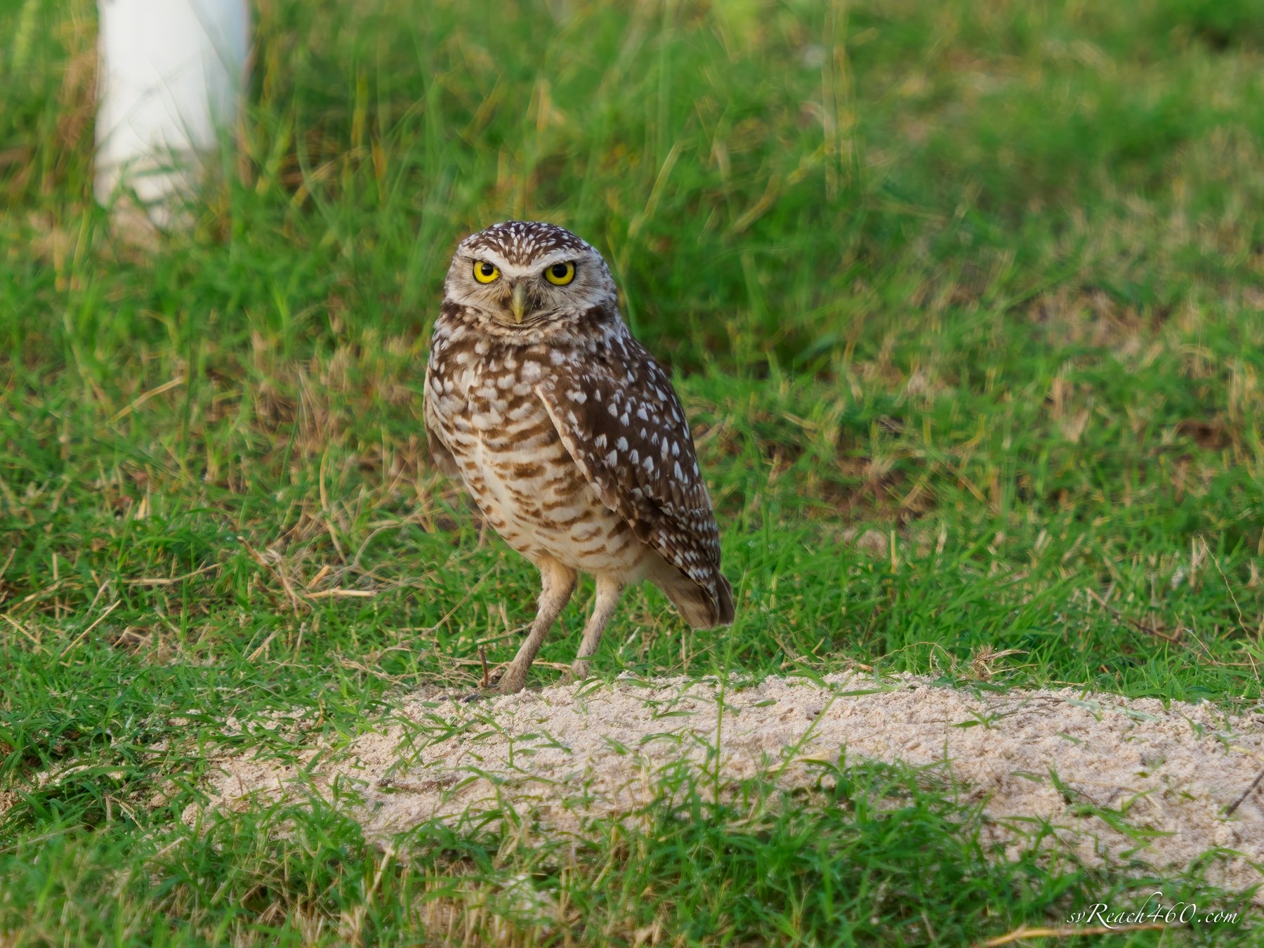
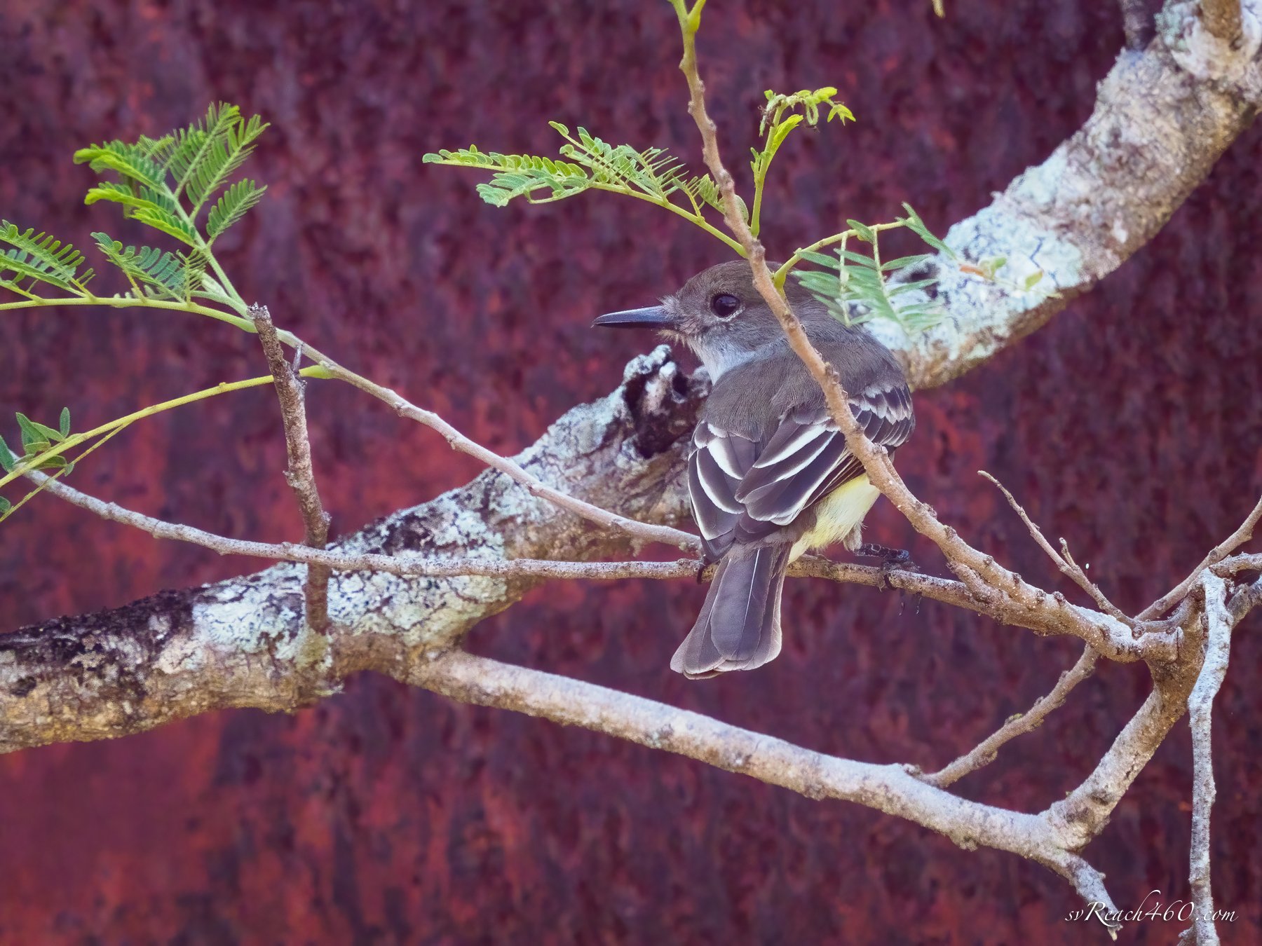
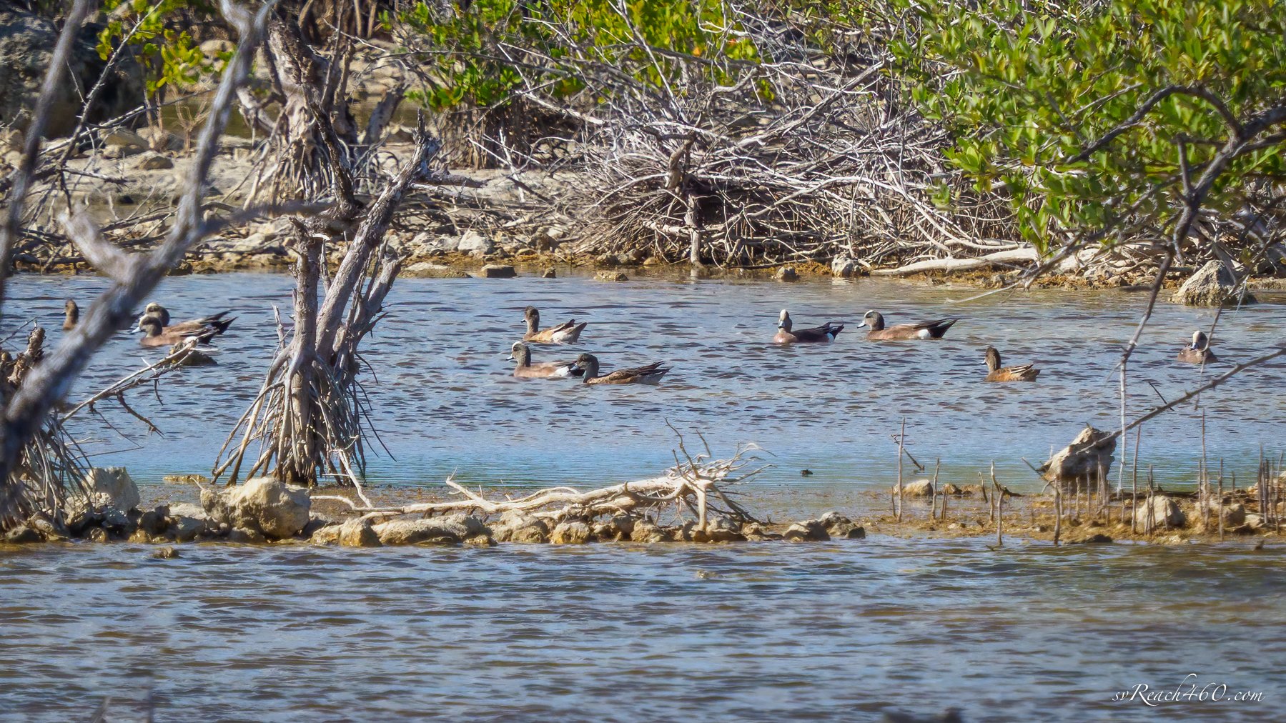
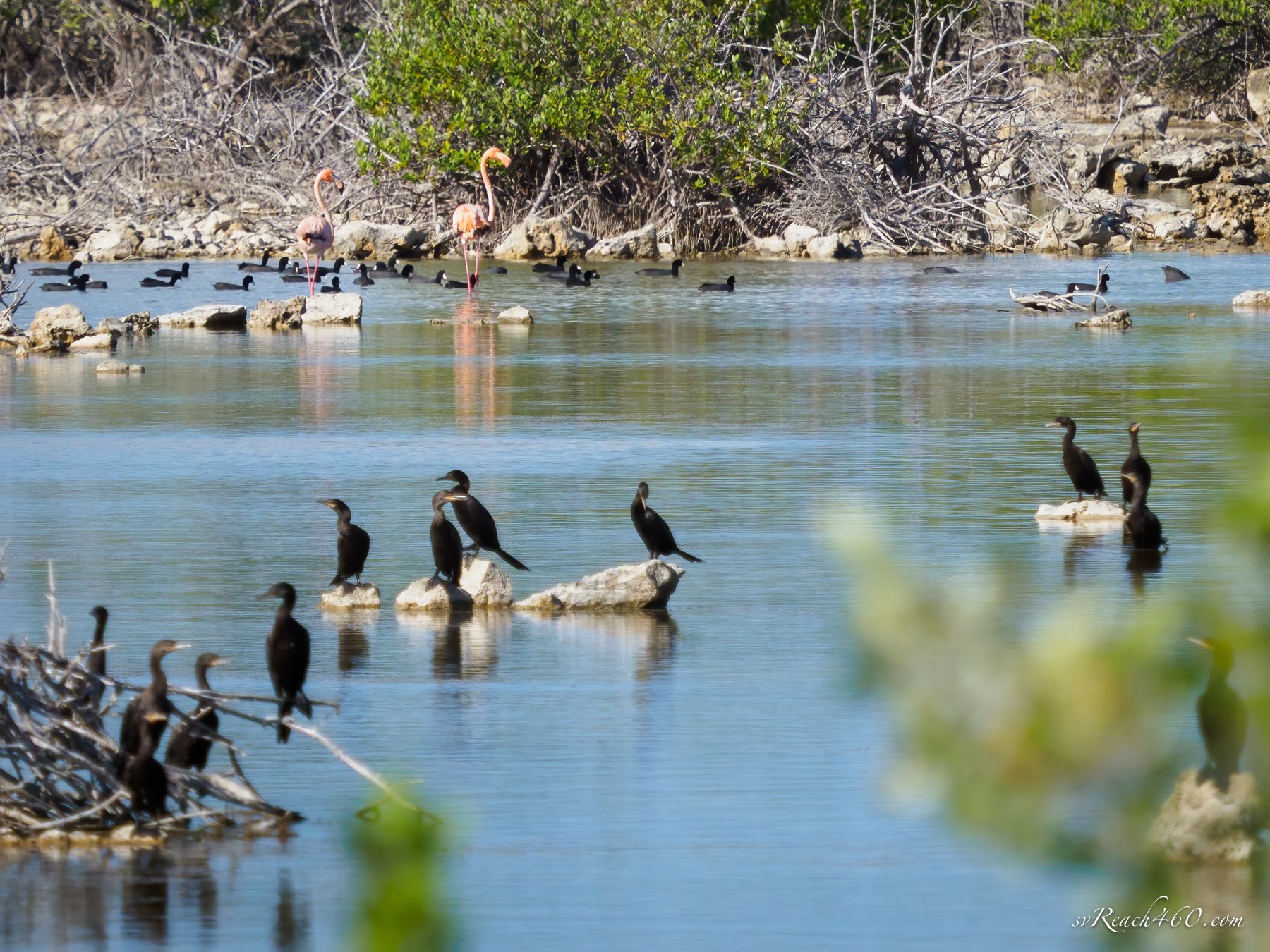
One of my main goals in visiting Inagua was to go birding. It is an amazing destination for birds.
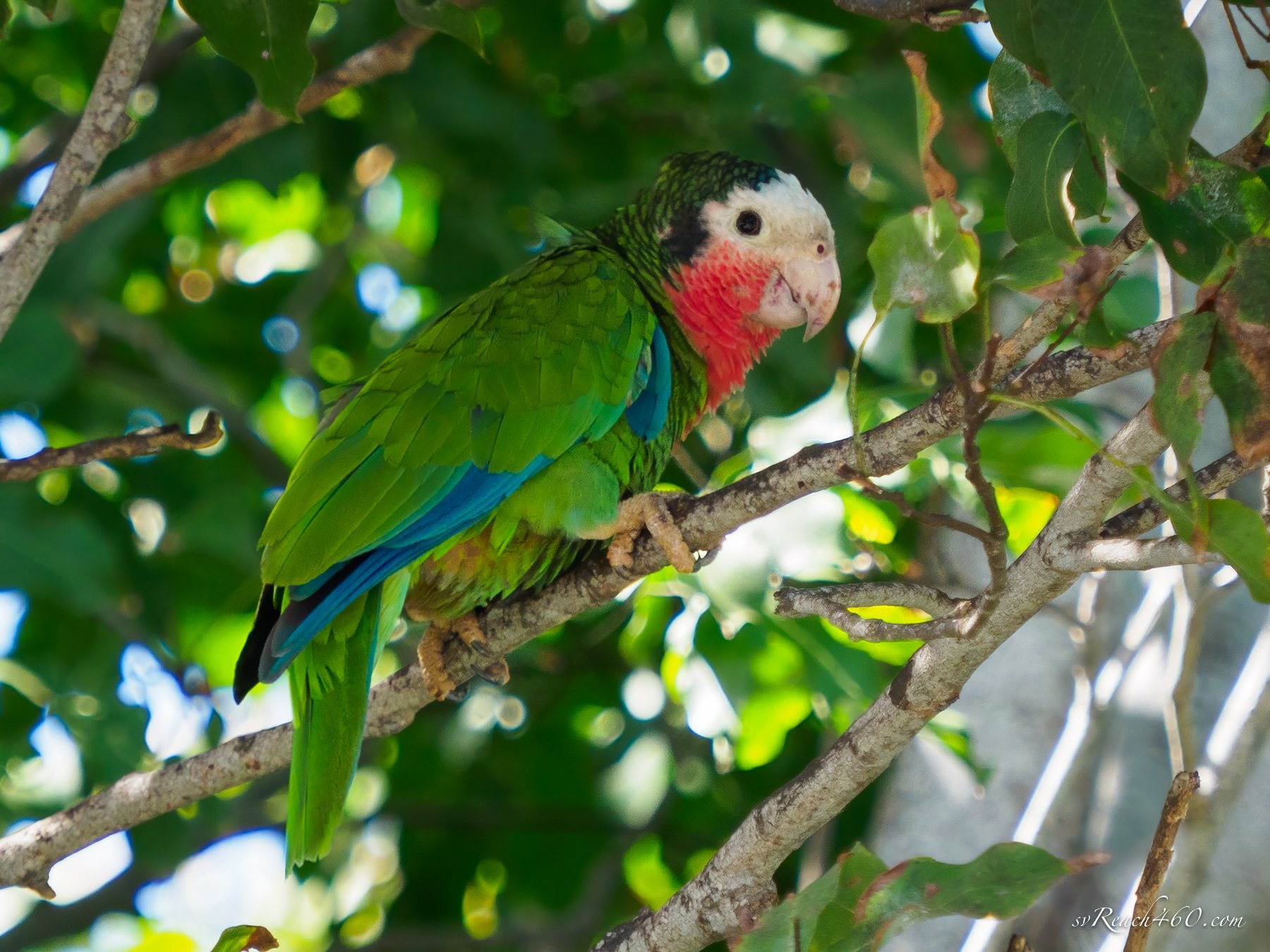
I did my homework and came up with a list of endemic birds to the Bahamas. Some are only found on Inagua or in the Bahamas/Cuba, like the Inagua woodstar hummingbird, Cuban parrot and La Sagra’s flycatcher.
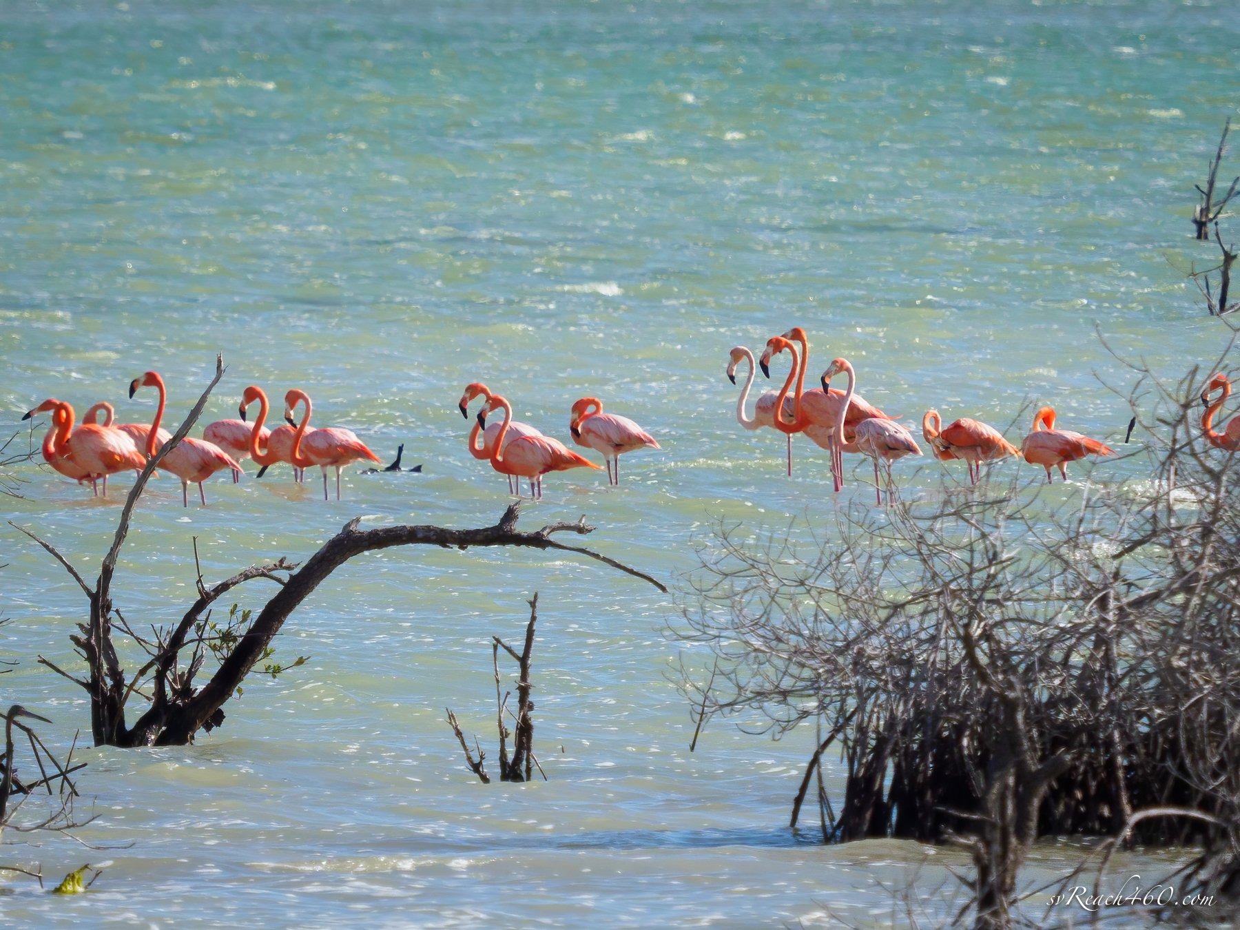
…oh, and Flamingos!!
My Bahamas Life-list was 90 species before I arrived — I left with 103 — using eBird to record and track sightings (4 lifers).
One advantage of birding on Inagua is the presence of resident bird experts, Tarra Lindo, and her uncle Henry. Tarra is an avid birder like me and has advanced training by the Audubon Society. Henry is the Park Warden for the Bahamas National Trust (BNT) on the island. Over the course of the week, I arranged tours with each of them. Both have expertise and local knowledge, but the best part is that they love birding too. It was a real highlight of the visit for me.
Birding with Tarra on Inagua
American flamingos
Inagua BNT Park Warden
The island is vast, yet only a portion of it is occupied. There is a huge, active salt works that still employs a majority of residents. It was quite an impressive sight to see.
There are managed flood works to bring salt water inland. They first form a crust on the bottom and then grow the salt on top. When transported, there are immense piles of salt ready to be loaded onto ships, and gypsum, a byproduct that isn’t harvested (but does have uses).
Nestled between the Government dock and the Royal Bahamas Defense Force (RBDF) Marine unit, there was plenty of action in the marina. Haitian boats still maintain an active trade with the Bahamas through this port; rum and cement were offloaded while home goods, generators and mattresses were onboarded.
Engineless and hand-built from trees, they are at the whims of the winds and a window into the past trade-routes. We watched one trying to leave in gusty conditions, only to return with a broken mast, where RBDF towed them back in.
Haitian trading vessel
Dismasted Haitian vessel
RBDF with migrants
On another occasion, the RBDF arrived carrying a deck full of Haitian migrants picked up off of Cay Sal islands. They were of all ages, but most young families, who were desperate enough to try and sail away in another laden, homebuilt vessel.
We’ve seen several Haitian migrant boats sail into the Bahamas over the years and it is our understanding that they are returned to their country via Nassau. It is heartwrenching to contemplate and to witness.
Eventually, we left the marina to anchor in Man O’War Bay. We found pristine waters with very healthy reefs, the healthiest we’d seen in a long time! There were huge heads of lobed star coral rising from 20-30’ depths, perfect for some snorkeling time.
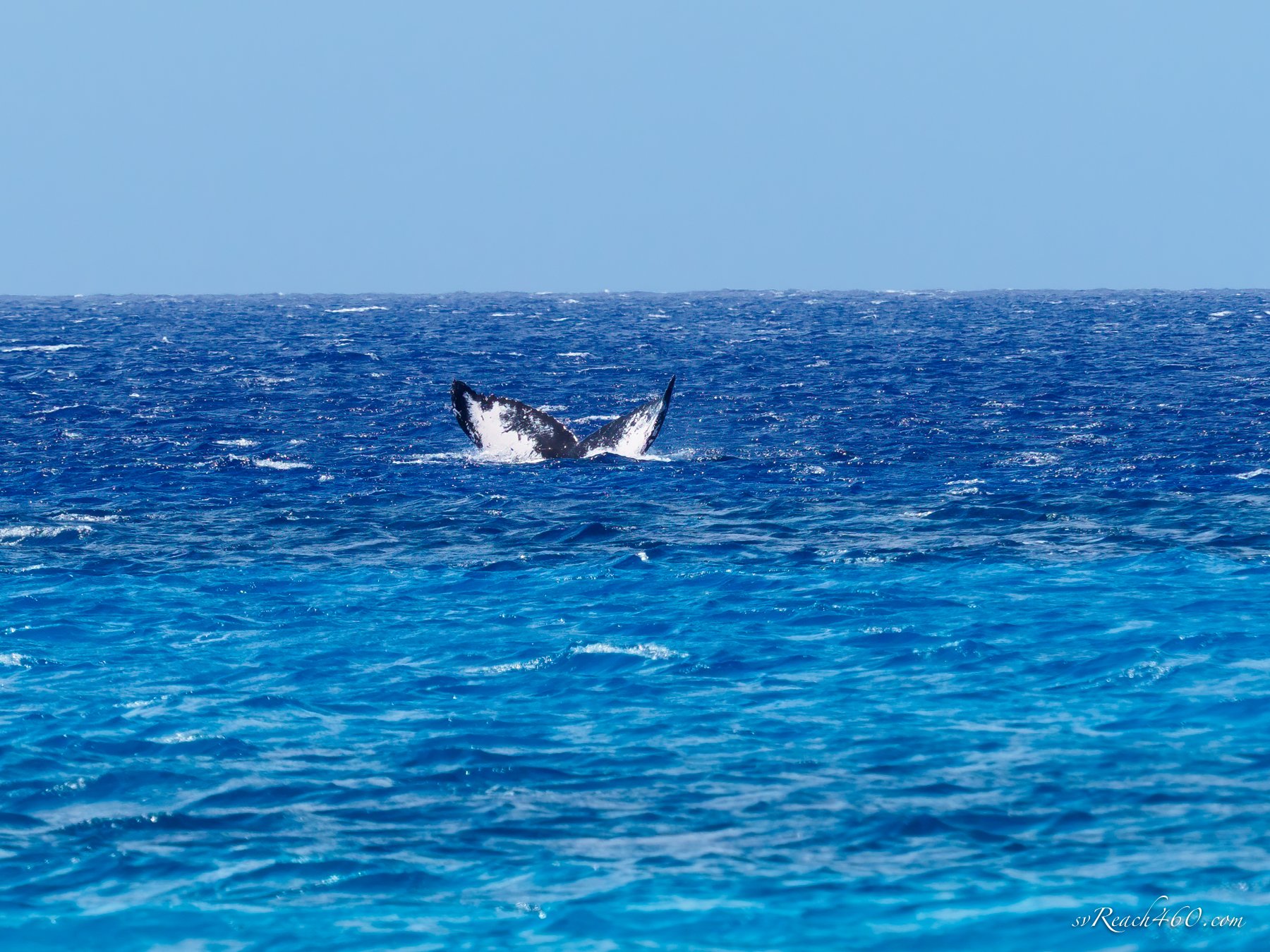
As in many of the Bahamas out islands, anchorages are near vertical ocean drop-offs from tens of feet to hundreds and then thousands of feet in depth. One day when I was doing laundry, Mark spotted a humpback whale breeching and fin slapping right behind our boat! I quickly grabbed the camera and got a few lucky shots before it dove and disappeared for good.
We then reported the whale sighting to Happy Whale. Scientists use the tail pattern (white markings and notches) to identify individual whales, and this turned out to be a new sighting. If the whale is seen elsewhere, it will be matched to this original record. As a first sighting, we even get to name the whale (for a small donation). We will do so when we come up with a good name — open to suggestions! Mark wanted Whaley McWhaleface, but I vetoed that one. Lol.
Our next stop was a visit to Mayaguana to shelter from weather coming out of the north. The southern anchorage is surrounded by a barrier reef requiring good light to navigate. We got in a snorkel before the bad weather arrived, but did not get to explore on land here this time. The reefs looked a bit beat-up and there were less fish and critters around, although we only swam on a small section of reef right off from town.
After 2 nights, we sailed on to Acklins for some more out island explorations. Our first time here, we dropped the hook in Datum Bay at the very south end of Acklins… then dropped it again.. and again… third time getting a tenuous bite of the anchor on the hard bottom. This place is notorious for bad holding, but was again the place we needed to be for more high winds.
Soon, we were able to move over to Sugar Bay where we took a ride in to visit Salina Point. It was a very small settlement on Acklins, marked by more friendly residents offering a ride, gladly accepted. We chatted with a few people, ordered lunch from Panny’s and enjoyed it in their homecoming site. Mark says it was the best fried chicken he ever had - It was!
By the time we got back to the dinghy it was high and dry on rocks and luckily we had some help getting it floated again. Even so, the bight of Acklins here is incredibly shallow and hard to navigate even far out at low tide. So that is why all of the fishing skiffs were moored so far out!
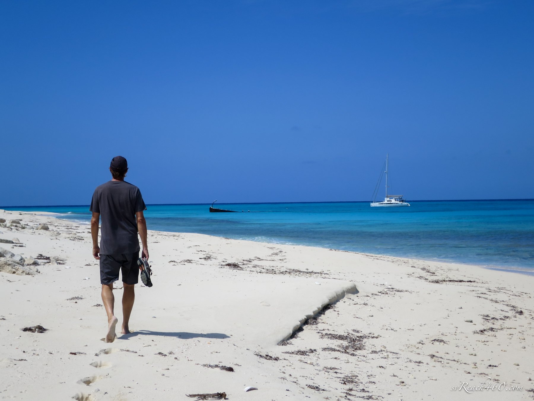
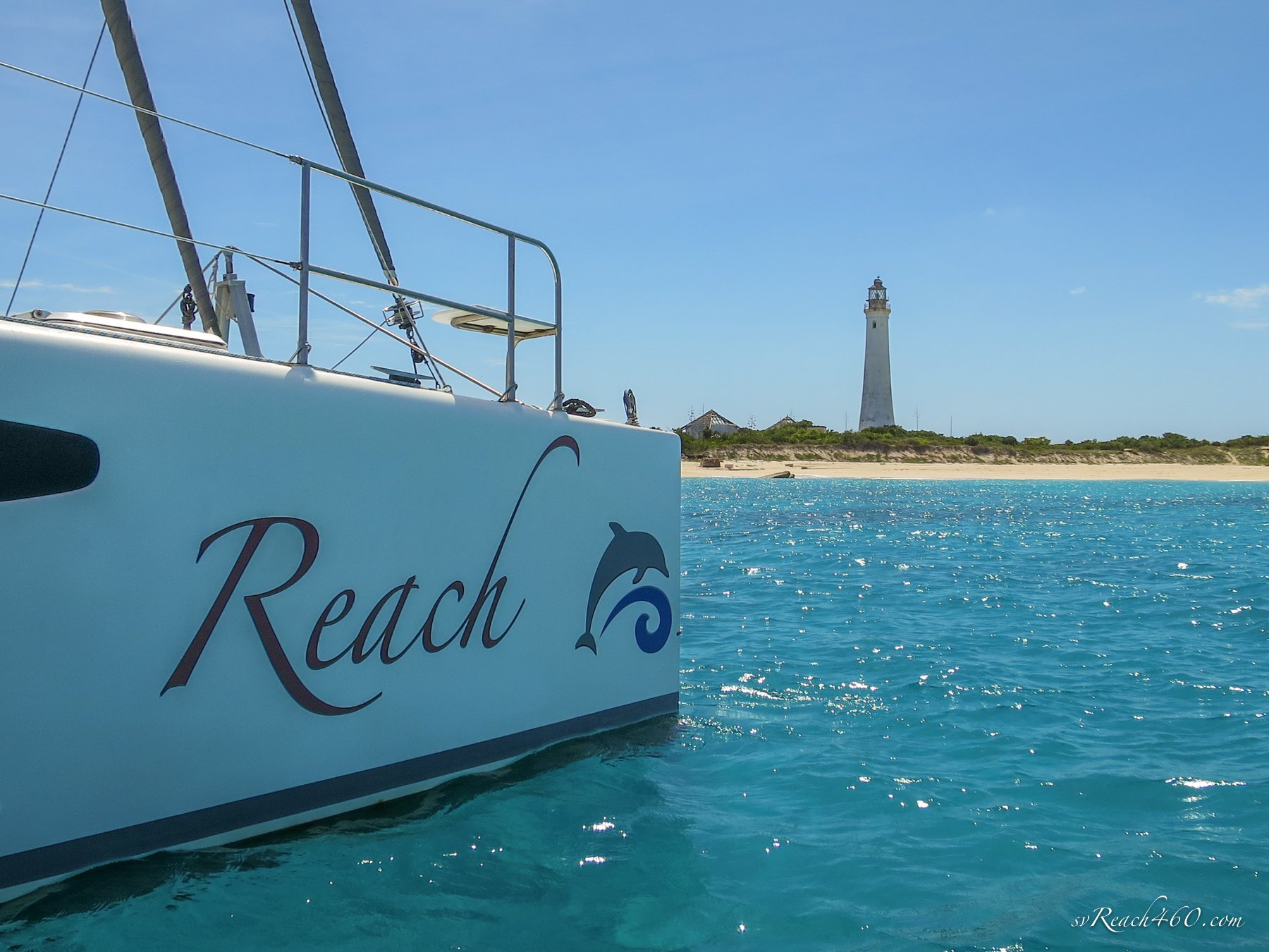
We sailed around to anchor off of Castle Island for a day stop. There is a cool wreck near the beach and the lighthouse grounds were an interesting complex for the keepers of the past. Like Inagua’s lighthouse, it used to be run by kerosene; however the steps were completely degraded and it was impossible to climb this one without risking life and limb.
In all of these Out Islands, we saw American kestrels everywhere. These are a Cuban subspecies that have both a pale morph and a dark morph (chest color). When sailing between the islands, Audubon’s shearwaters were a common pelagic sighting.
We also spent as much time underwater as possible. So. Much. Fun.
These waters are incredibly clear ~ great for underwater photography! I still use [super]macro exclusively these days, but these are the perfect conditions for some wide angle work... hmmm will need to look into a lens for that.
We sailed on to South Cay in the bight of Acklins. An island to ourselves, we circumnavigated it and I got some birding in at the salt pond in the center.
The next day we moved on to Fish Cay. Another gorgeous spot, where we were joined by Kookaburra! Our first cruising buddies upon leaving in 2008 (when we initially met and realized we were each embarking on our first cruising leg). We have crossed paths with them every few years or so since then.
Reuniting with friends in an anchorage is one of the best parts of cruising!
Kookaburra & Reach share an anchorage
Meeting new friends is one of the other best parts of cruising! We “met” another vessel Hope here in Acklins, unfortunately only online, but with lots in common… Chances are good to share another anchorage one day. The weather turned, as it does, and we all had to go hide around Crooked Island to get better positioned.
The forecast had a heavy north component heading our way, so with little to no protection in Crooked Acklins from sustained north winds, we decided to day-hop over to the Ragged Island to ride out the next front.
Nassau for dinner
We stayed there a week, fishing in our spots and meeting up with Booke-End for a great hike and shared dinner, after which we day-hopped back to Crooked Island to continue our out island time.
Landrail point is a lovely harbor, where we could easily replenish our dingy gas and diesel from the marina.
Landrail Point & Bird Rock Lighthouse
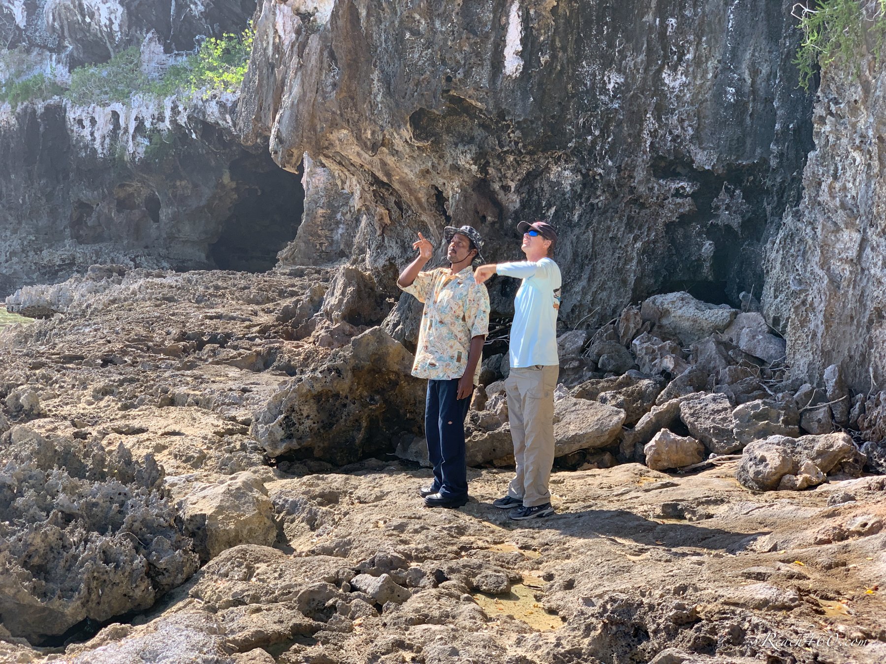
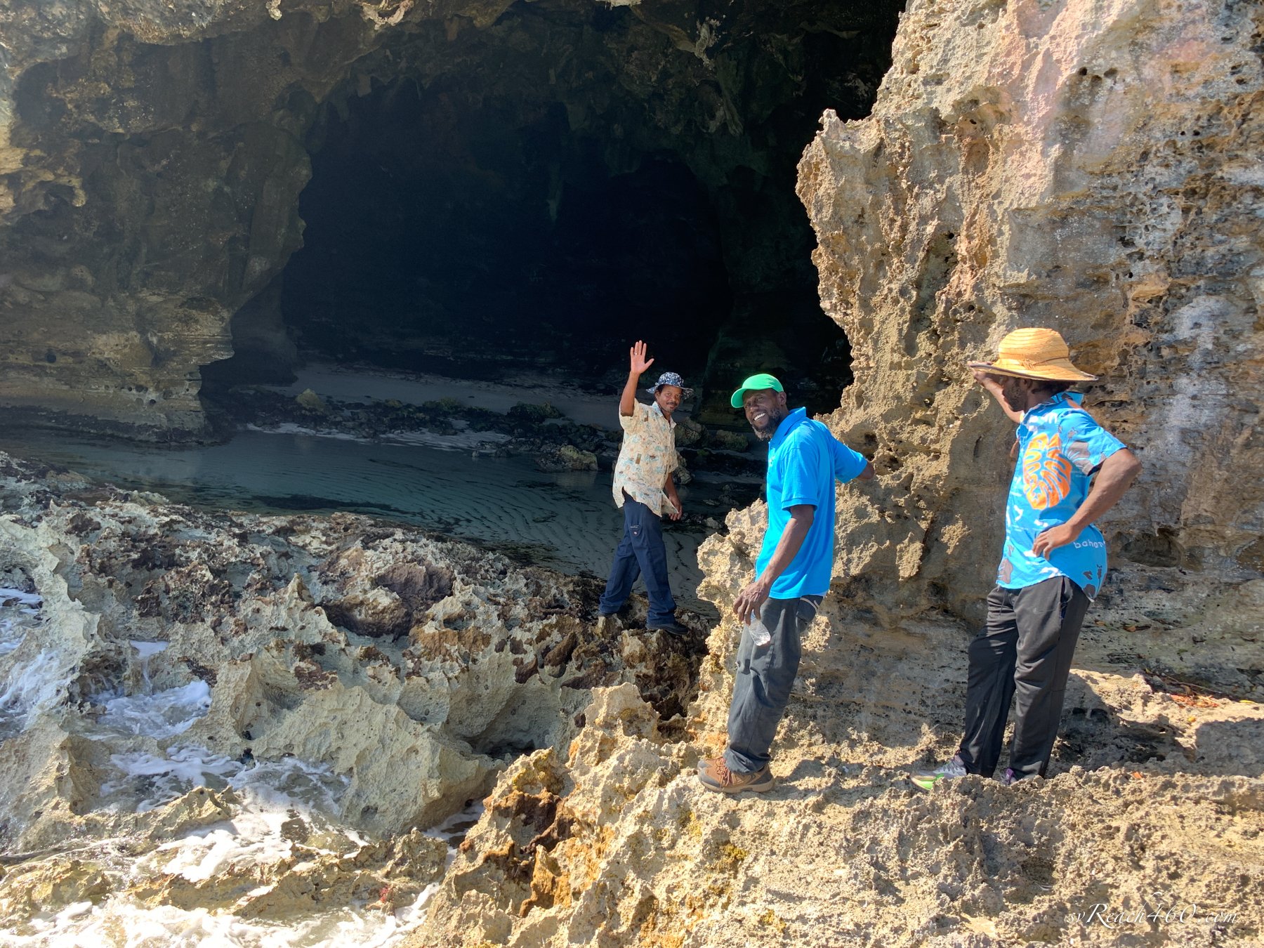
We had visited Crooked Island for the first time last year, and this was a first time for Kookaburra. This time we booked a tour with Quack Tours and Bay Boy Tours for some local knowledge. DeAngelo (Quack), Romane and friend José worked together to share the tour and we all had a fun day. Hearing their stories about growing up here really gave us a flavor of life in the out islands.
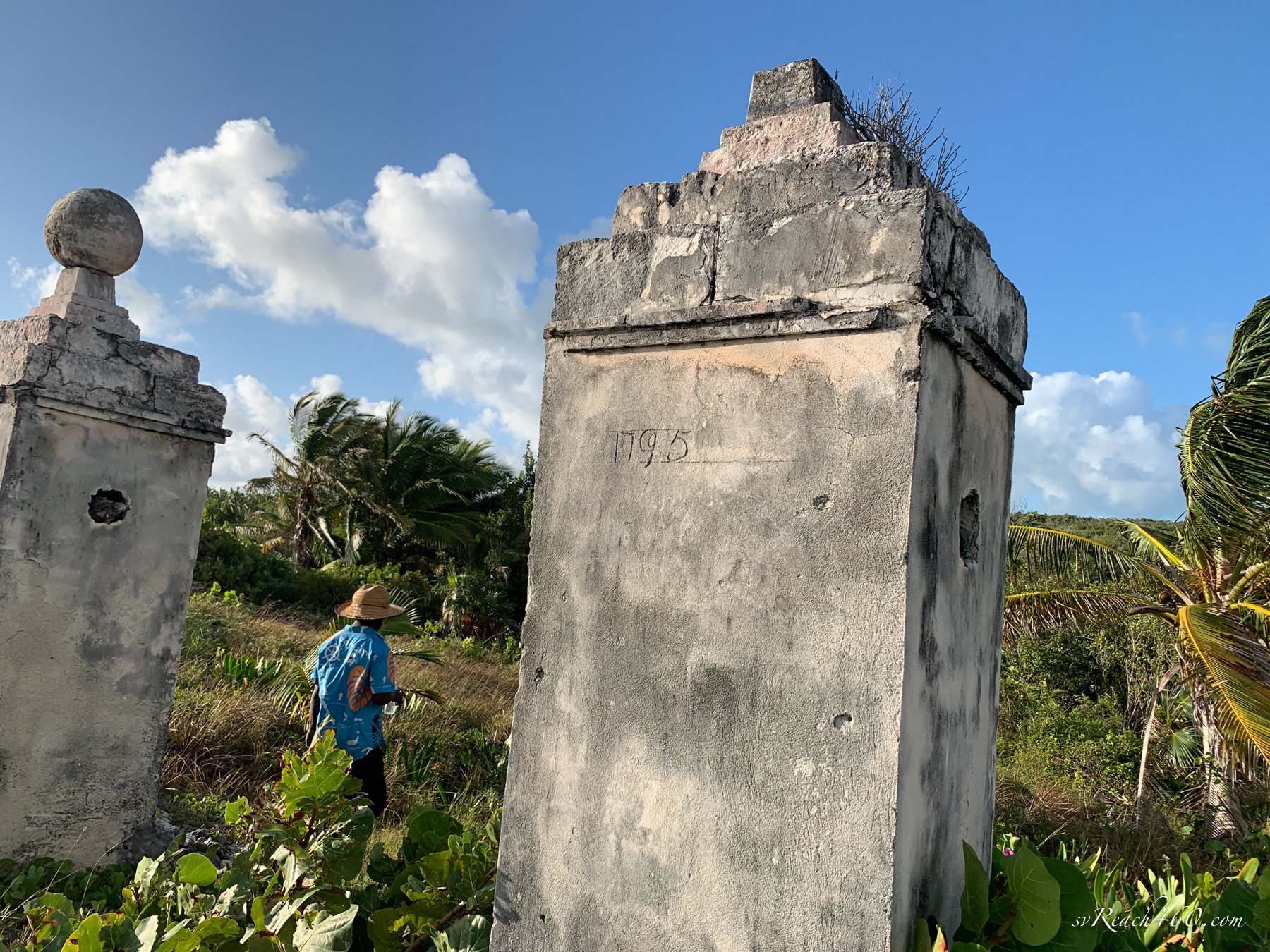
We visited former slave plantations, a huge freshwater pond, local settlements and an amazing cave. The cave was a spectacular sight, with a beach in the entry, bats overhead, plus white-tailed tropicbirds flying at the entrance and nesting in the cave. We did spy a couple of nests and were careful not to disturb them.
Nesting white-tailed tropicbird
Days melted by here, as we hiked or snorkeled our days away. The reef life was pretty active, and although not as pristine as Inagua, the corals were in good shape as well.
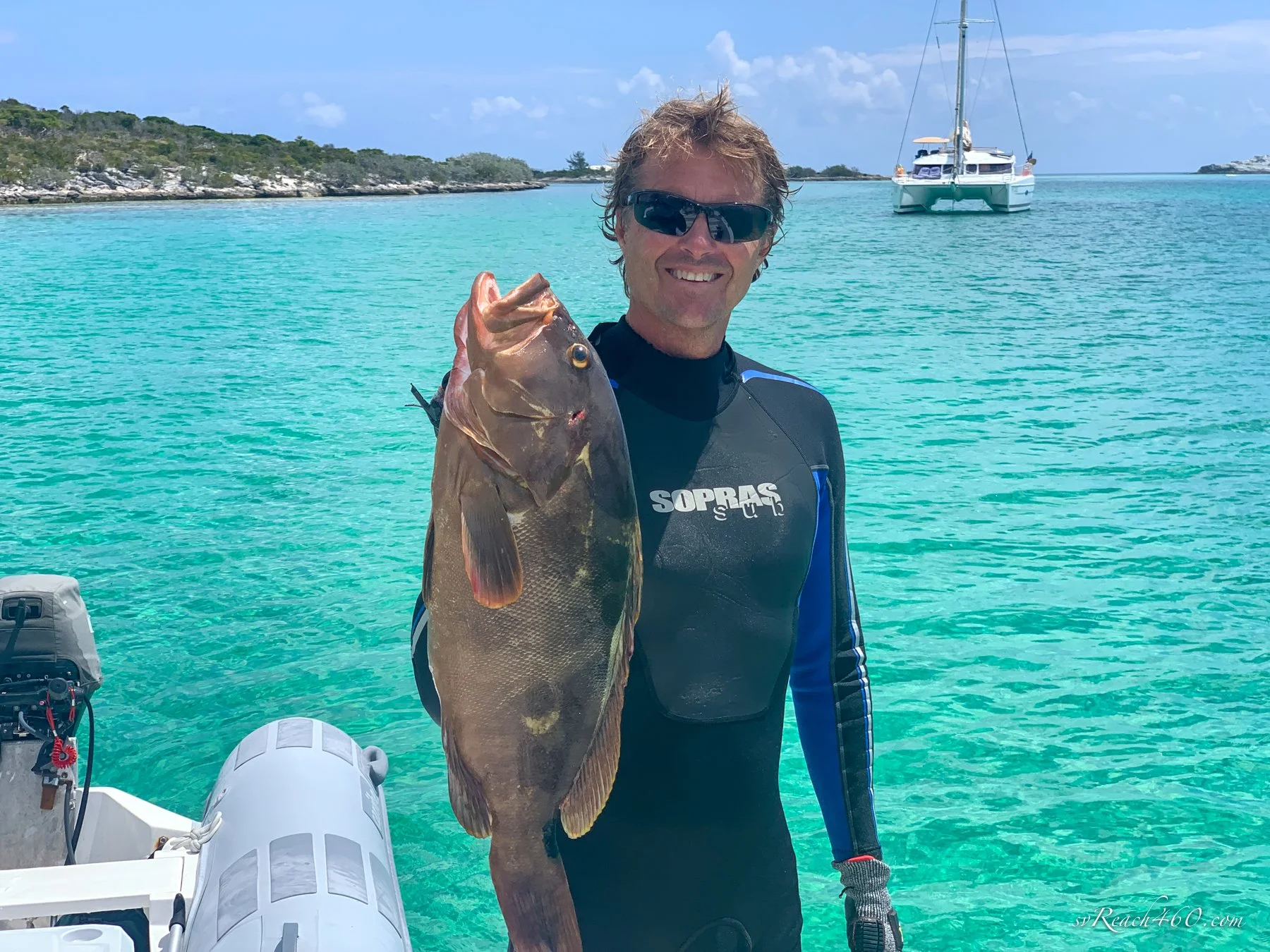
I was happily occupied finding tiny spinyhead blennies routinely, hiding in their little holes and darting out to catch a morsel. Mark & Keith caught us a few dinners that we enjoyed sharing on Reach & Kookaburra over the past few weeks together.
Beach bonfire
Out island life is good to us! We spent the last 2 months exploring and it was great to land in some new places.
We also met a few other super nice cruising boats, again from an online connection. It’s a small enough cruising community that makes it easy to meet each other, compare notes and stories, and share experiences. Cruising life remains good to us too!


